Bachelor's Thesis · 2023
FRI The Way
Android indoor navigation for FRI Ljubljana
GPS signals don't reach indoors — so finding a room in a multi-floor university building can be surprisingly hard, especially for new students. FRI The Way is an Android app built for the Faculty of Computer and Information Science (FRI) in Ljubljana that solves exactly this: search for a room, lab, or office by name, browse by category, see who works there, and get step-by-step walking directions through the building.
The project was my bachelor's thesis, supervised by Prof. Dr. Narvika Bovcon (committee: Prof. Dr. Franc Solina, Assoc. Prof. Dr. Tomaž Hovelja). It covers the theory of indoor positioning — WiFi fingerprinting, sensor fusion, dead reckoning — through to a fully working app deployed on the IndoorAtlas platform.
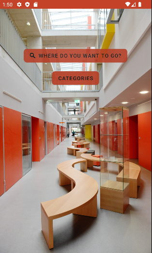
The App
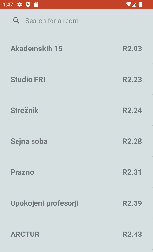
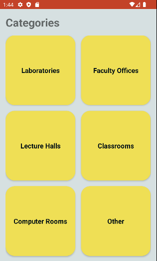
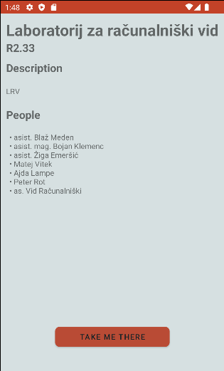
Search by room name, browse by category, or tap straight to navigation from a room's detail page.
Under the Hood
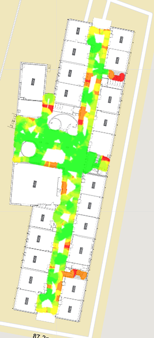
Three layers of data power the navigation: WiFi fingerprinting for positioning, a walkable path graph for routing, and geofenced polygons for room detection.
WiFi Fingerprinting
Signal strength sampled at hundreds of points across every floor to build a positioning map. Green = strong coverage, red = weak spots.
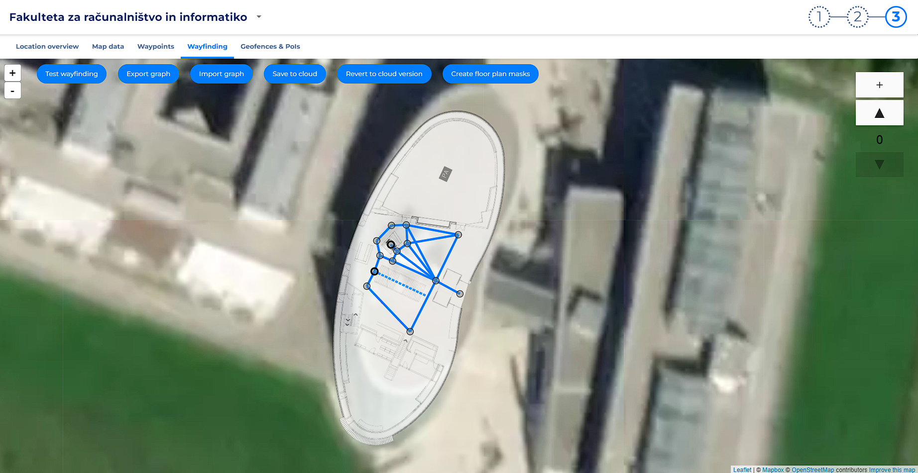
Path Graph
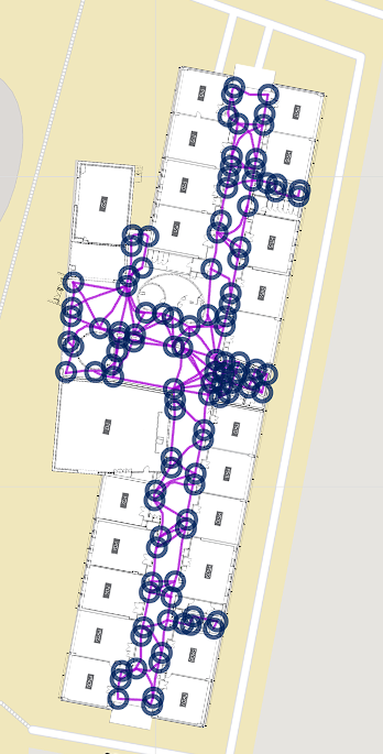
Walkable routes encoded as a weighted graph over each floor plan — nodes at junctions, edges along corridors — used for shortest-path wayfinding.
Geofences & Points of Interest
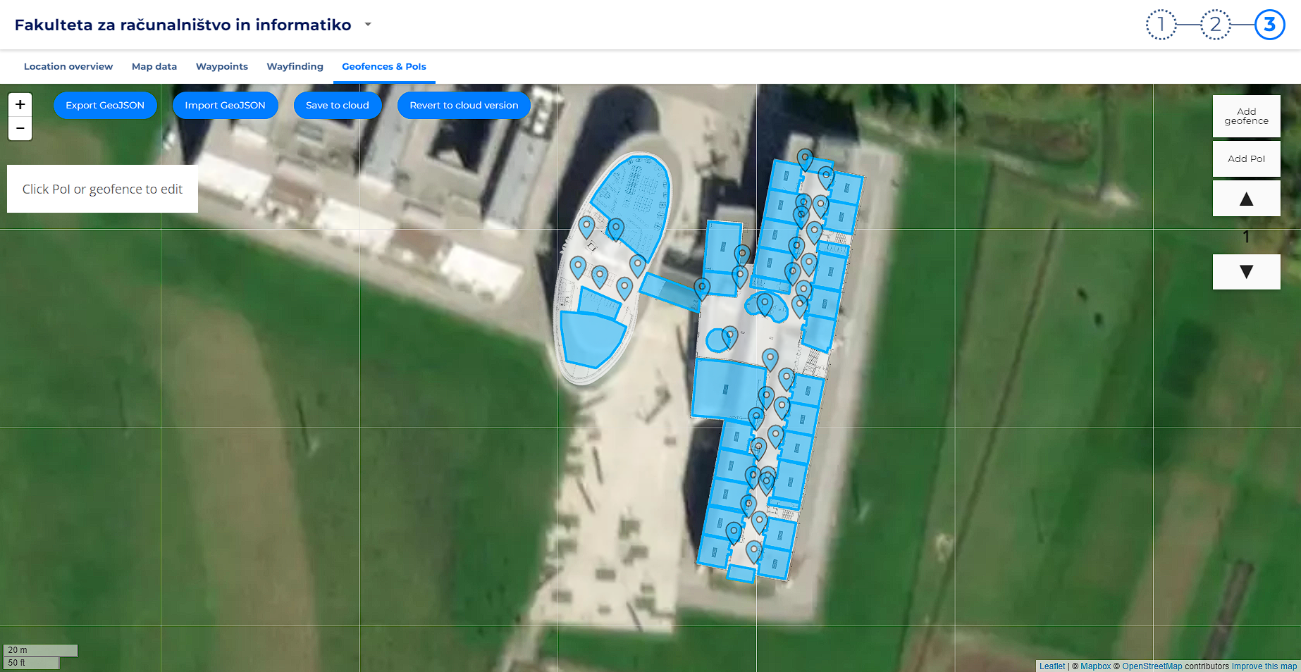
Every room is defined as a geofence polygon drawn over the satellite view. Each geofence is linked to a POI storing the room name, description, and staff list — the data the app surfaces on the room detail screen.
Mapping the Building
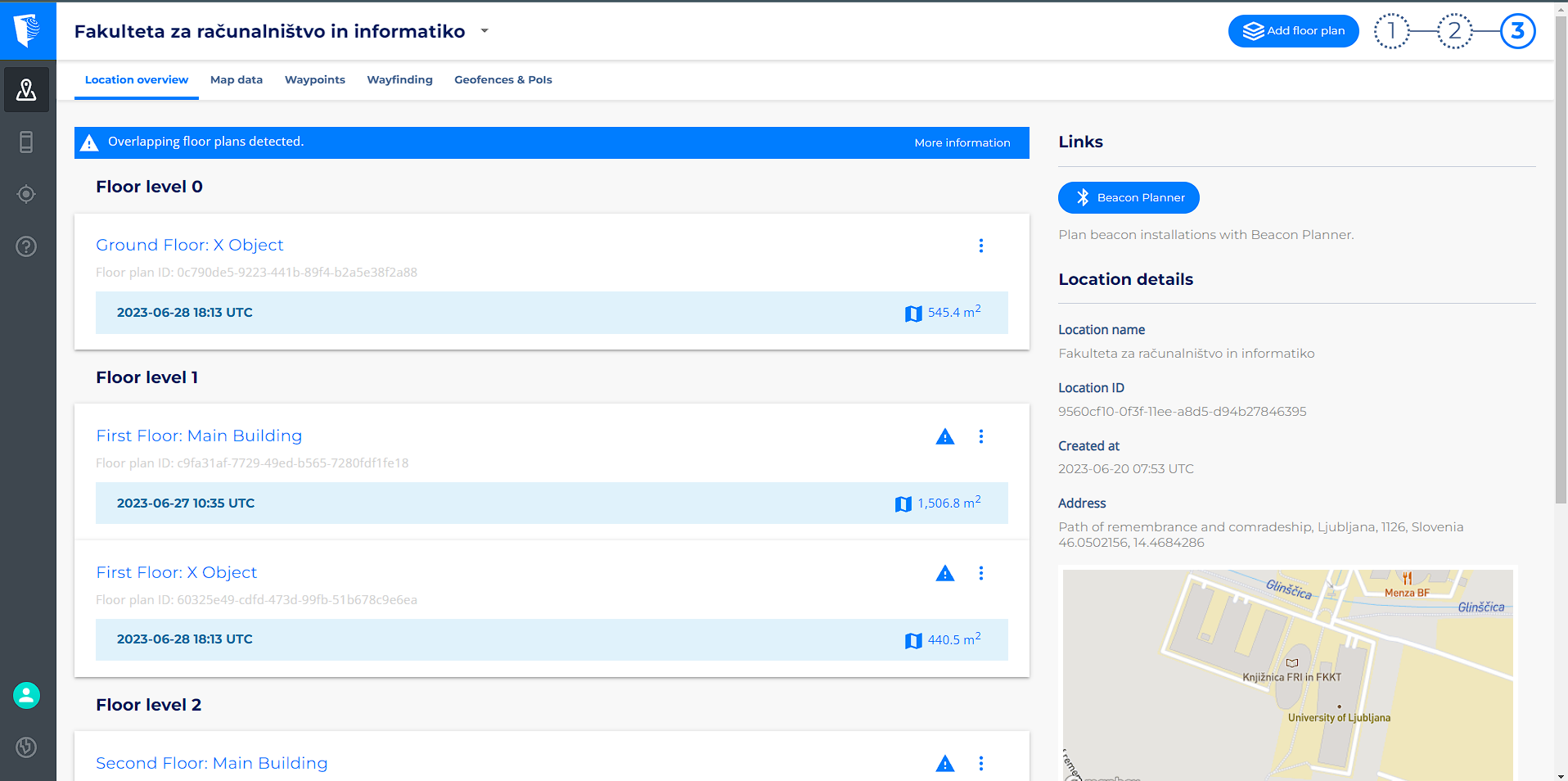
Before the app can navigate, every floor needs to be mapped in the IndoorAtlas portal — floor plans uploaded, paths drawn, WiFi fingerprints collected, and room polygons defined. FRI has three floors across two wings, which meant a lot of manual mapping.